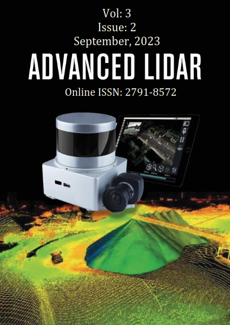
Published 2023-09-30
Keywords
- Ground Filtering,
- LiDAR,
- DTM,
- CSF,
- Point Cloud
How to Cite
Abstract
Airborne LiDAR System (ALS) is a common use of rapid data gathering technologies in a variety of fields, such as cultural heritage, Geography Information Systems (GIS), 3D city modeling, and the production of Digital Terrain Models (DTM). Geomatics experts must use Light Detection and Ranging (LiDAR) to filter out the bare ground from point cloud data. So, the Cloth Simulation Filtering (CSF) ground filtering technique is discussed in this study. The ground and non-ground point clouds of the airborne LiDAR point cloud data were separated for assessment. All point cloud data must be compared for an accurate appraisal of filtering accuracy. However, the data is so massive; this seems implausible. Data manually identified as ground and non-ground were used as a reference to measure classification success adequately. Our findings show that the CSF approach's performance is sufficient but depends on the kind of point cloud, the slope, and the vegetation type.
References
- Buján, S., Cordero, M., & Miranda, D. (2020). Hybrid overlap filter for LiDAR point clouds using free software. Remote Sensing, 12(7), 1051.
- Chen, C., Guo, J., Wu, H., Li, Y. & Shi, B. (2021). Performance Comparison of Filtering Algorithms for High-Density Airborne LiDAR Point Clouds over Complex LandScapes. Remote Sensing, 13(14), 2663.
- Erol, S., Özögel, E., Kuçak, R. A. & Erol, B. (2020). Utilizing Airborne LiDAR and UAV Photogrammetry Techniques in Local Geoid Model Determination and Validation. ISPRS International Journal of Geo-Information, 9(9), 528.
- Klápště, P., Fogl, M., Barták, V., Gdulová, K., Urban, R. & Moudrý, V. (2021). Sensitivity analysis of parameters and contrasting performance of ground filtering algorithms with UAV photogrammetry-based and LiDAR point clouds. International Journal of Digital Earth, 13(12), 1672-1694.
- Meng, X., Currit, N. & Zhao, K. (2010). Ground filtering algorithms for airborne LiDAR data: A review of critical issues. Remote Sensing, 2(3), 833-860.
- Pfeifer, N. & G. Mandlburger. (2018). LiDAR data filtering and digital terrain model generation, in Topographic Laser Ranging and Scanning. CRC Press. p. 349-378.
- Pingel, T. J., Clarke, K. C. & McBride, W. A. (2013). An improved simple morphological filter for the terrain classification of airborne LIDAR data. ISPRS Journal of Photogrammetry and Remote Sensing, 77, 21-30.
- Rashidi, P. & Rastiveis, H. (2017). Ground filtering lidar data based on multi-scale analysis of height difference threshold. Int. Arch. Photogramm. Remote Sens. Spat. Inf. Sci, 225-229.
- Štular, B. & Lozić, E. (2020). Comparison of Filters for Archaeology-Specific Ground Extraction from Airborne LiDAR Point Clouds. Remote Sensing, 12(18), 3025.
- Süleymanoğlu, B., & Soycan, M. (2019). Comparison of filtering algorithms used for DTM production from airborne lidar data: A case study in Bergama, Turkey. Geodetski Vestnik, 63(3).
- Susaki, J. (2012). Adaptive slope filtering of airborne LiDAR data in urban areas for digital terrain model (DTM) generation. Remote Sensing, 4(6), 1804-1819.
- Zhang, W., Qi, J., Wan, P., Wang, H., Xie, D., Wang, X., & Yan, G. (2016). An easy-to-use airborne LiDAR data filtering method based on cloth simulation. Remote sensing, 8(6), 501.
- Meng, X., Currit, N., & Zhao, K. (2010). Ground filtering algorithms for airborne LiDAR data: A review of critical issues. Remote Sensing, 2(3), 833-860.

